Safety: Historic mine sites can be hazardous. Never enter abandoned workings without qualified supervision. Read full notice

California · Santa Clara County

New Almaden Mine

Unconfirmed Mercury Mixed Underground / Surface

Key facts

State
California
County
Santa Clara
Development status
Past Producer
Mine type
Mixed underground / surface
Primary commodity
Mercury
Verification
Unconfirmed

Also known as

  • Chaboya, Santa Clara, New Almaden District, Cora Blanca, San Francisco, South Randol, North Randol, Victoria, Central Stope, Velasco, HarryNew Almaden, San Pedro - Almaden., Santa Mariana

Mine Location

Approximate Area

Open in Mine Map

Documented underground workings

Source classification: Underground operation documented

Specific physical workings are not yet documented in discrete records.

Historical mapped workings

USGS historical topographic mapping. Features may no longer exist.

  • 9 shaft symbols
  • 6 adit symbols
View individual source records (3)

Every underlying record used to build the summary above, for research/verification use.

  • USGS MRDS working type: Surface/Underground
  • MRDS work_type documents underground workings: Surface/Underground · work_type
  • MRDS oper_type documents existing underground operation (dev_stat=Past Producer): Surface-Underground · oper_type

Verification

Unconfirmed

Source records support underground workings, but UndergroundMines has not yet independently verified this mine.

Why it's listed

Source records document both underground and surface mining.
View sources & evidence

History & operations

Historical record

  • Development status: Past Producer

Operators / organizations

  • New Almaden Property Holders, Inc. · Source-reported owner

Commodities & minerals

Reported minerals

  • Dolomite
  • Quartz
  • Cinnabar
  • Metacinnabar
  • Bornite
  • Chalcopyrite
  • Galena
  • Pyrite
View all 10 reported minerals
  • Dolomite
  • Quartz
  • Cinnabar
  • Metacinnabar
  • Bornite
  • Chalcopyrite
  • Galena
  • Pyrite
  • Sphalerite
  • Stibnite

Photos

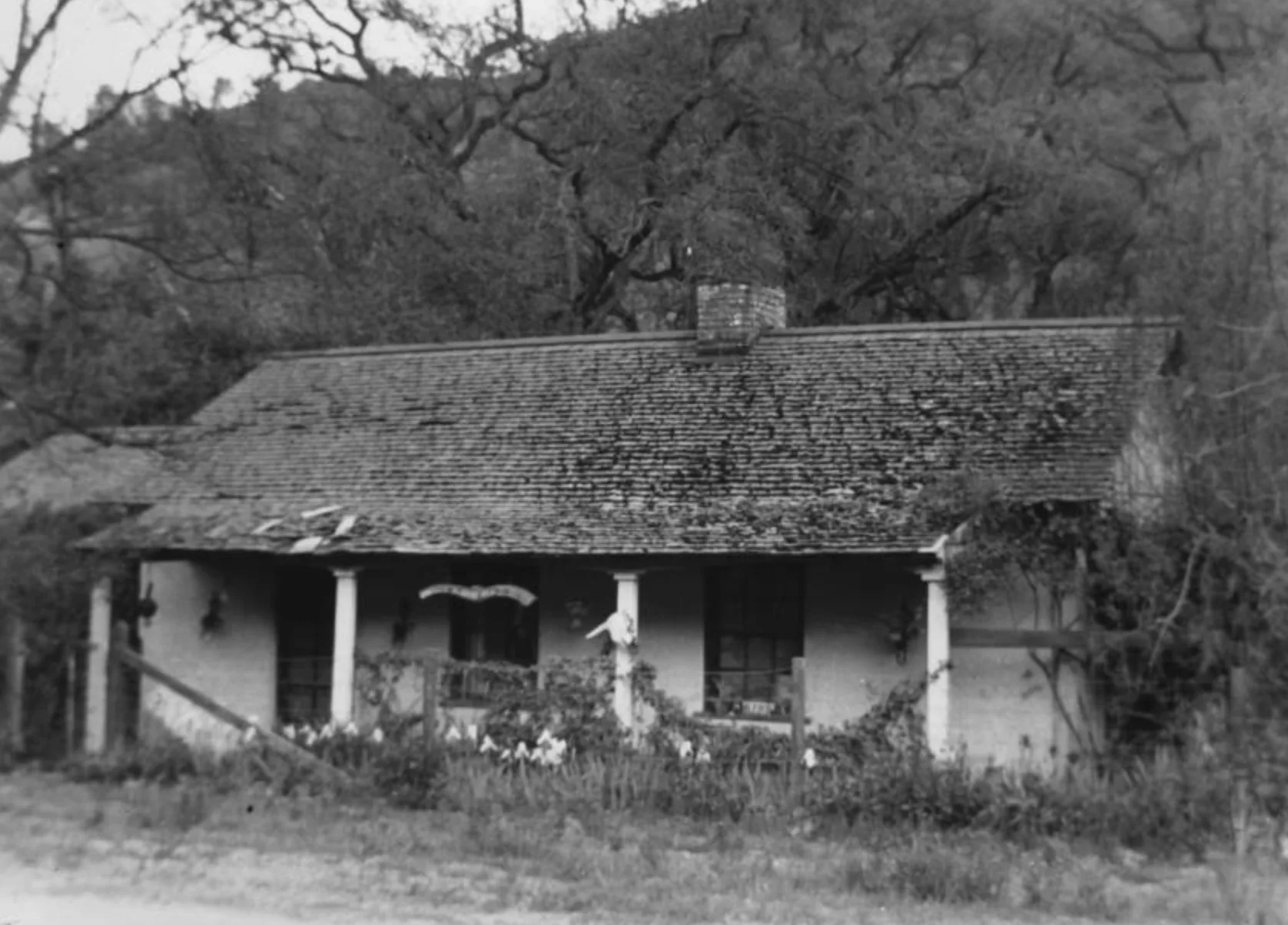
Adobe in New Almaden, circa 1860

Wikimedia Commons

Access & recent conditions

Land
public land
Source
Santa Clara County Parks
Access information last checked
August 9, 2026

Community reports

Sources & evidence

USGS Mineral Resources Data System

Type: Historical mine record

Supports:

  • mine identity
  • development status
  • commodities
  • underground eligibility evidence

USGS Historical Topographic Mine Features

Type: Historical mapped physical features

Dataset: DOI 10.5066/P9TAALR6

Supports:

  • mapped shaft symbols (9)
  • mapped adit symbols (6)

Historical mapped features may no longer exist.

Dataset information

Santa Clara County Parks

Type: Access / land-management source

Supports:

  • access / lawful visit information

View source

Approved historical / mine photographs

Type: Image sources

Record: 1 approved photograph

Supports:

  • visual documentation

Related underground mines

Bernal

California · Santa Clara County

Unconfirmed Mercury Past Producer Underground

Documented shaft/adit evidence

Chaboya - Hillsdale

California · Santa Clara County

Unconfirmed Mercury Past Producer Mixed Underground/Surface

Historical mapped workings available

American

California · Santa Clara County

Unconfirmed Mercury Past Producer Mixed Underground/Surface

Historical mapped workings available

Enriquita

California · Santa Clara County

Unconfirmed Mercury Past Producer Mixed Underground/Surface

Historical mapped workings available